More Sierra Snow Expected This Saturday
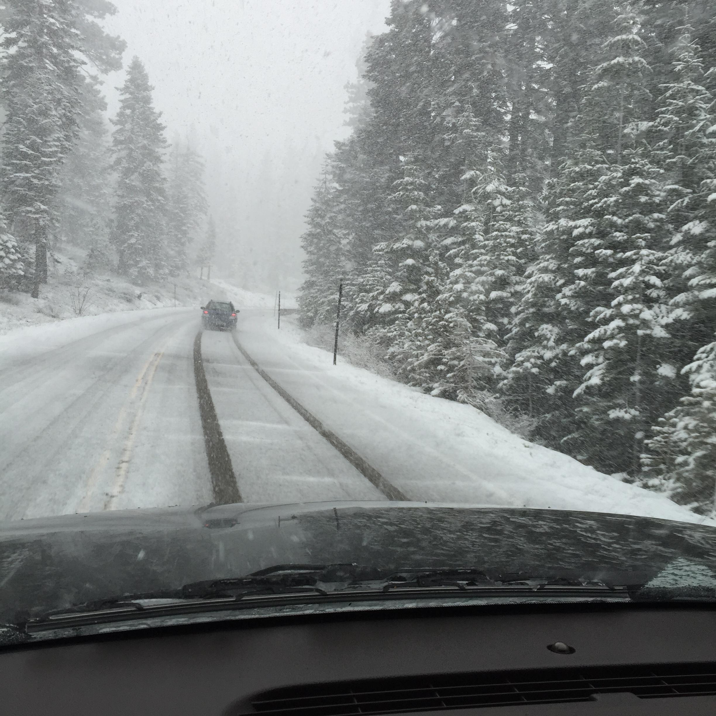
Heavy snow will continue in the Sierra Nevada through early Friday, with a lull anticipated through Friday night, when another winter storm will bring additional heavy snow to mountain locations.
Thus, the Winter Storm Warning remains in effect for the Sierra Nevada above 6,000 feet through 4 AM Friday.
Additional snow accumulations of nine to twenty-one inches is expected above 6,000 feet through Friday morning. Winds could gust as high as fifty mph over the crest. Strong winds could cause tree damage.
After that, a new Winter Storm Warning has been issued for the Sierra Nevada above 5,000 feet from 10 PM Friday through 10 PM Saturday.
Beginning Friday night, heavy snow is expected at elevations above 5,000 feet, with accumulations ranging from one to two feet.
Be prepared for difficult to potentially impossible travel with snowfall rates of two inches per hour, causing whiteout conditions. Expect major delays and road closures. If traveling into the Sierra Nevada, consider alternate plans. Remember to carry tire chains, extra food water and clothing.
Additionally, the Flash Flood Watch continues for Mariposa County through Friday morning.
Heavy rain continues to occur at times (especially over burn scars), which will make the foothills susceptible to flash flooding and possible debris flows.
A Flash Flood Watch means that conditions may develop that lead to flash flooding. Flash flooding is a VERY DANGEROUS SITUATION. You should monitor later forecasts and be prepared to take action should Flash Flood Warnings be issued.
A Winter Storm Warning means there will be snow covered roads and limited visibilities. Travel is not recommended while the warning is in effect. If you must travel, keep an extra flashlight, food and water in your vehicle in case of an emergency.