The Flood Watch issued for the Mariposa County foothills, the lower Sierra Nevada of Mariposa County and Yosemite Valley will continue until 7 PM this evening.
Flooding caused by excessive rainfall continues to remain possible.
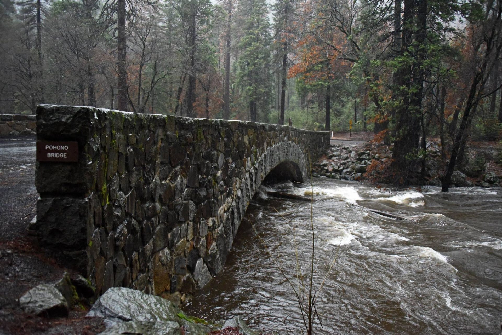
The Atmospheric River has been bringing rainfall rates of one half an inch an hour, which can lead to nuisance flooding in low lying areas, as well as localized rockslides along steep canyons.
Excessive runoff from the rain could result in flooding of rivers, creeks, streams, and other low-lying and flood-prone locations. Flooding may occur in poor drainage and urban areas. Low-water crossings may be flooded.
You should continue to be alert for possible Flood Warnings. Those living in areas prone to flooding should be prepared to take action should flooding develop.
Also, a Winter Storm Warning continues to remain in effect for the western slope of the northern Sierra Nevada and Yosemite National Park above 6,000 feet, until 4 AM Wednesday.
According to the National Weather Service, additional snow accumulations will range from four inches inches to twenty inches above the 6,000 foot elevation. The higher you go, the more the snow. The heaviest snow is expected above 6,500 feet.
Winds will generally gust from fifty to fifty-five mph on exposed ridgetops and along the crest.
Travel in the high mountains remains extremely difficult or nearly impossible. Widespread blowing snow is significantly reducing visibility, leading to hazardous driving conditions.
If you must travel, remember to carry tire chains, plenty of food, a good deal of water, warm clothing, and a flashlight in your vehicle in case of an emergency.
Additional storm systems are expected throughout the week into next weekend.