The National Weather Service has issued a Dense Fog Advisory for the northern San Joaquin Valley until 10 AM this morning (Thursday) and the Central San Joaquin Valley until 11 AM this morning.
Widespread visibility is one quarter of a mile or less in the dense fog, thus creating hazardous driving conditions due to low visibility.
If driving in the fog, slow down, use your low beam headlights, and leave plenty of distance ahead of you.
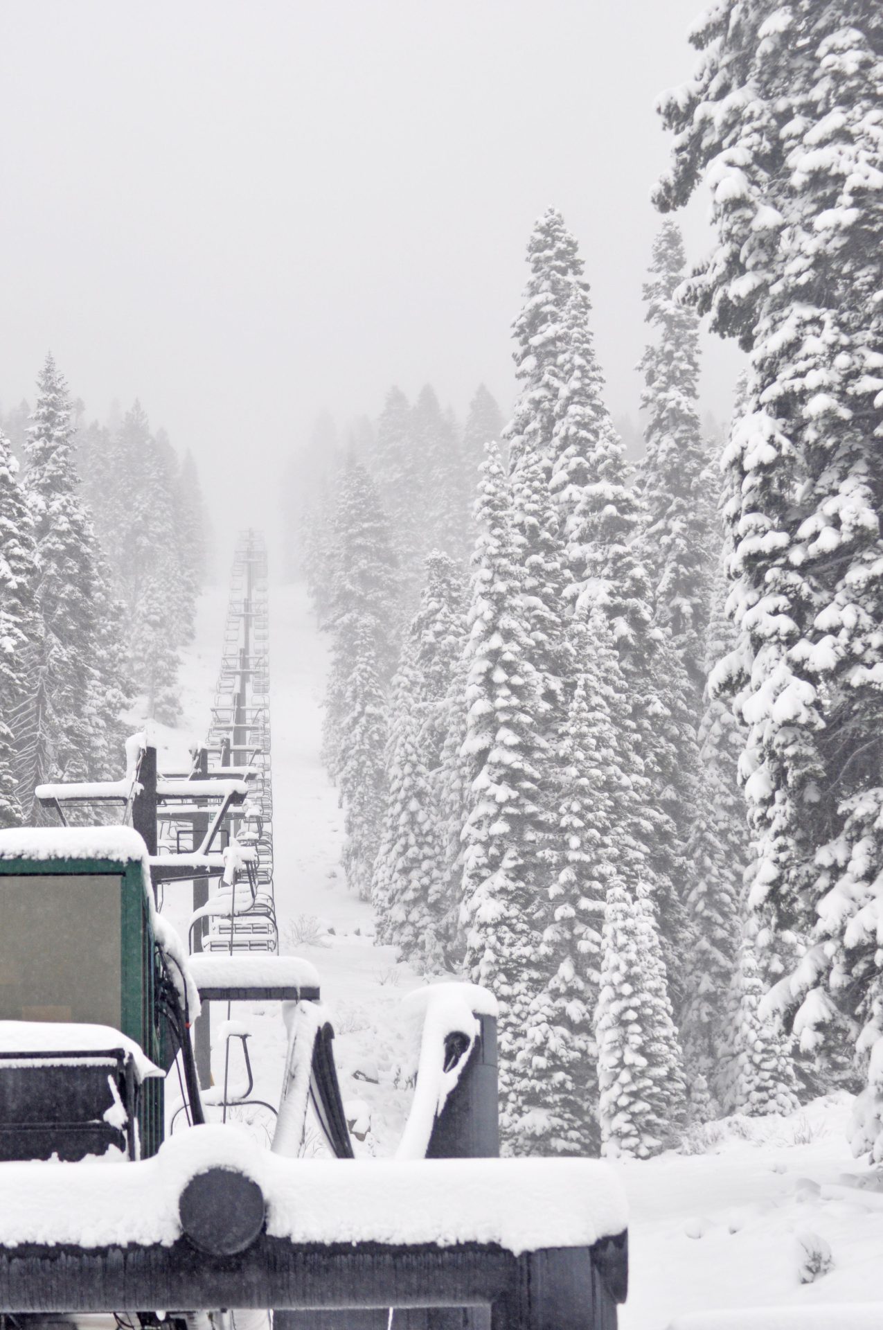
Later today, a Winter Weather Advisory will go into effect for the west slope of the Northern Sierra Nevada above 3,500 feet, starting at 10 AM this morning and continuing until 4 AM Friday.
The total expected snow accumulations will range from half-a-foot to a foot-and-a-half.
Winds may gust as high as 40 mph.
Finally, a Winter Storm Watch has been issued for the west slope of the northern Sierra Nevada above 3,500 feet, as well as the lower Sierra Nevada of Mariposa County (above 3,500 feet) and Yosemite National Park, from Friday evening until late Sunday night.
Heavy snow is likely.
The elevation levels for snowfall will start out on Friday night between 3,000 to 4,000 feet, before rising to 4,000 to 6,000 feet on Saturday. The snow levels will then fall on Sunday down to as low as 2,500 to 3,500 feet. The majority of the snow accumulation will be above 3500 feet.
Total snow accumulations above 3,500 feet will range from half-a-foot to five feet. The higher you go, the more the snow.
Winds could gust as high as 45 to 60 mph. Gusty winds will bring whiteout conditions and may bring down tree branches
Travel will likely be very difficult to impossible. Chain controls and travel delays are to be expected with possible road closures.
Slow down and use caution while traveling.