Update: Flash Flood Watch & Sierra Winter Storm Warning
The National Weather Service has extended the Flash Flood Watch for Mariposa County and the Sierra Nevada, through 4 PM this afternoon.
Rainfall totals of two to five inches are expected in the watch area, which could result in flash flooding, mud and rock slides and debris flows.
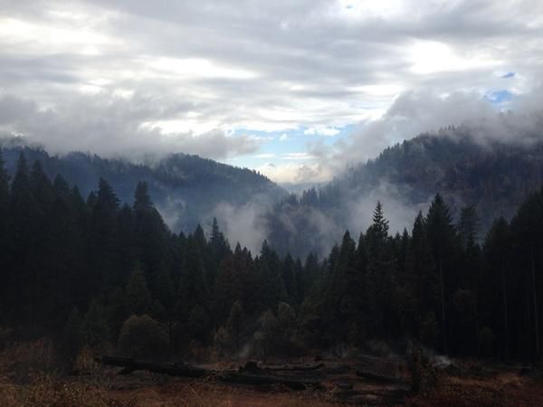
Locations with the greatest threat of flooding are in the vicinity of the Detwiler burn scar. Yosemite National Park in the area of the Parkline Slab is also at risk.
Residents should stay alert for rising waters and be prepared to move to higher ground if and when Flash Flood Warnings are issued. Many roads, especially secondary roads, could become flooded or impassable due to excess runoff.
Additionally, a Winter Storm Warning remains in effect for the Sierra Nevada through 10 PM tonight.
Heavy snow and blowing and drifting snow is expected. Plan on hazardous winter driving conditions, travel delays and possible road closures with local whiteout conditions. Most roads will have chain requirements.
Snow levels are starting out above 8,000 feet this morning before lowering to 5,000 through 6,000 feet by this afternoon.
Total snow accumulations will range from one to three feet.
A Winter Storm Warning for snow means severe winter weather conditions are expected. If you must travel, keep an extra flashlight, food and water in your vehicle in case of an emergency.
A Flash Flood Watch means that conditions may develop that lead to flash flooding. Flash flooding is a VERY DANGEROUS SITUATION. You should be prepared to take action should Flash Flood Warnings be issued.