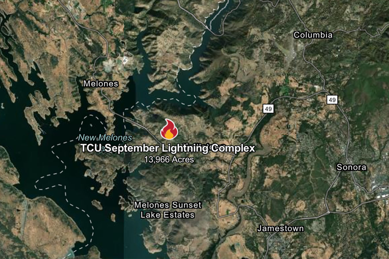
Tuolumne County, CA – CAL Fire reports this morning that the TCU September Lightning Complex Fire’s acreage is holding at 13,966, while the containment has climbed overnight from 28% to 42% this morning.
In total, 95 structures have been destroyed and seven have been damaged. Additionally, one firefighter has been injured, with no details regarding their condition being released. Incident Command reports that suppression efforts and increasing humidity have resulted in no new fire growth overnight.
Today, personnel will resume their frontal attack on the fire in an attempt to broaden and enhance control lines, as well as assess prospects for suppression control in certain sections of the flames. Some of the flames are burning on steep, mountainous terrain.
For the Calaveras County 2-7 Fire, all evacuation orders have been reduced to evacuation warnings. The evacuation alerts will continue in effect until further notice. CAL Fire asks evacuees to please use caution when returning home following an evacuation and to “keep an eye out for any risks.” Damage Inspection Teams (DINS) continue to evaluate all places where structures have been damaged, with CAL Fire noting that “totals will change as the teams assess the damaged region.”
Below are the current conditions for the TCU September Lighting Complex:
1-1 Fire: 5 acres, 100% Contained
1-2 Fire: 40 acres – 100% Contained
1-3 Fire: 95 acres – 100% Contained
2-1 Fire: 0.35 acres, 50% Contained
2-2 Fire: 3,462 acres, 100% Contained
2-3 Fire: 294 acres – 50% Contained/Copper Cove Ct at Obyrnes Ferry Rd, Copperopolis
2-4 Fire: 47 acres, 100% Contained
2-5 Fire: 0.01 acres -100% Contained
2-6 Fire: 0.25 acres – 50% Contained
2-7 Fire: 606 acres – 50% Contained
2-8 Fire: 1,332 acres- 50% Contained
4-5 Fire: 3.2 acres – 80% Contained/McCormick Meadows, South of Arnold
5-1 Fire: 0.01 acres, 100% Contained
5-2 Fire: 2.8 acres – 100 % Contained/Lyons Bald Mountain Rd, Sonora
5-3 Fire: 0.01 acres, 100% Contained
5-4 Fire: 0.01 acres, 100% Contained
6-2 Fire: 1,025 acres – 60% Contained
6-3 Fire: 1 acre – 100% Contained
6-4 Fire: 0.01 acres, 100% Contained
6-5 Fire: 7,037 acres – 10%
6-6 Fire: 15 acres – 100% Contained
Evacuation Information: (Click here for evacuation map.)
Evacuation Orders
Evacuation Orders issued for the following zones:
6-5 Fire
- All of Chinese Camp Town
- Six Bit Ranch Road
- Six Bit Gulch Road
- Red Hill Road
- J-59 to Old Don Pedro Road
- Don Pedro Dam Road
- Old Don Pedro Dam Road
- Menkee Hess Road
- Both sides of Highway 120 from Chinese Camp to Highway 120 Bridge
- Rojo
- Shawmut Road
Evacuation Warnings
Evacuation Warnings issued for the following zones:
2-7 Fire
- CCU-133-F, CCU-134-B, CCU-134-E, CCU-133-E, CCU-133-D, CCU-134-A, CCU-134-D, CCU-134-C, CCU-134-F, CCU-134-G, CCU-143-B
6-5 Fire
- All Areas from Bell Mooney & Jacksonville Road
- West to Highway 49 and Highway 108 South to Old Jacksonville Road
- All areas/roads from Highway 108 South to Sims Road between Highway 120 and Highway 49
- Enterprise Drive
- High-Tech Drive
- All roads/areas between J59 to Highway 120, from Highway 108 East to Sims Road
- Sims Road
- Friendship Hill Road
- Silver Fox Court
Evacuation Shelters
Tuolumne County:
- Sonora Senior Center
540 Greenley Road
Sonora, CA 95370
Road Closures
- Highway 49 at Sims Road and 120 at Sims Road
- Sims Road between Highway 49 and 120 is now open
Numerous firefighting air tankers from throughout the state are flying fire suppression missions as conditions allow.
Engines
174
Water Tenders
50
Helicopters
8
Dozers
24
Hand Crews
55
Other
4
Total Personnel
2094
Our Fire Information Section is under the “Community” section here, or keyword: fire
Local Burn Day information is here. If you see breaking news, send us a photo at news@clarkebroadcasting.com.