The National Weather Service has issued a Flood Advisory for Tuolumne and Calaveras counties until 5 PM this afternoon.
The flooding is caused by both excessive rain and snowmelt.
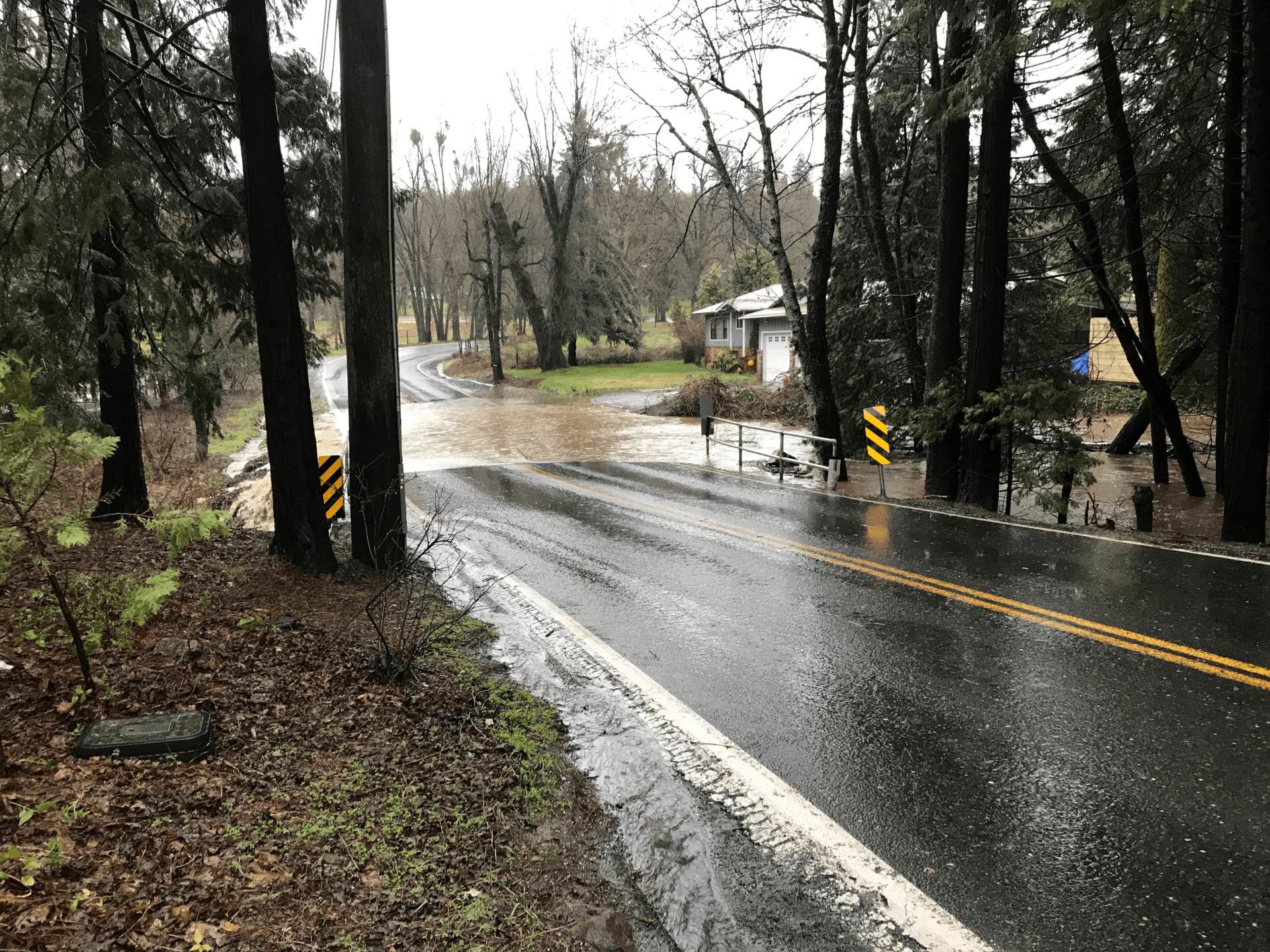
There is overflowing water and minor flooding in low-lying and poor drainage areas and there is water over some roadways.
Turn around, don`t drown when encountering flooded roads. Most flood deaths occur in vehicles. Be especially cautious at night when it is harder to recognize the dangers of flooding. Be aware of your surroundings and do not drive on flooded roads.
A Flood Advisory is also in effect for Mariposa County until 8:30 AM this morning.
The overall Flood Watch issued for the Mother Lode, the Sierra Nevada, Yosemite National Park, Mariposa County and the northern and central San Joaquin Valley, will continue through Sunday morning.
The excessive runoff may result in flooding of rivers, creeks, streams, and other low-lying and flood-prone locations. Creeks and streams may rise out of their banks. Flooding may occur in poor drainage and urban areas. Low-water crossings may be flooded. Extensive street flooding and flooding of creeks and
rivers are possible.
You should monitor later forecasts and be alert for possible Flood Warnings. Those living in areas prone to flooding should be prepared to take action should flooding develop.
Additionally, the Wind Advisory issued for the Mother Lode, the Sierra Nevada, Yosemite National Park, Mariposa County and the northern and central San Joaquin Valley, will remain in effect until 4 PM this afternoon.
South to southeast winds of fifteen to thirty-five mph will continue with gusts ranging from forty-five to seventy-five mph. The higher you go, the stronger the wind gusts.
The strongest winds will be early this morning.
Gusty winds could blow around unsecured objects. Tree limbs could be blown down and a few power outages may result. Trees could be toppled due to strong winds and saturated soil.
Use extra caution when driving, especially if operating a high profile vehicle. Secure outdoor objects.
Finally, the Winter Storm Warning issued for the western slope of the northern Sierra Nevada and Yosemite National Park above 7,000 feet, will expire at 10 AM Sunday morning.
The snow levels this morning range from 6,000 to 8,500 feet. That will lower later today and over the weekend the snow levels will remain between 5,000 to 7,000 feet.
Additional snow accumulations above the 7,000 foot elevation will range from two to eight feet.
Winds could gust as high as seventy-five mph.
Travel in the upper Sierra could remain very difficult, if not impossible. Blowing snow will significantly reduce visibility at times. Very strong winds may cause extensive tree damage.
If you must travel, keep an extra flashlight, food, and water in your vehicle in case of an emergency.