The National Weather Service has issued a Wind Advisory for the northern San Joaquin Valley until 1 PM this afternoon.
South winds of fifteen to twenty-five mph are expected, with gusts ranging from thirty to forty mph.
Gusty could blow around unsecured projects. Tree limbs could be blown down and a few power outages may
result.
Saturated soils will allow for trees to topple more easily during this wind event.
Use extra caution when driving, especially if operating a high profile vehicle. Secure outdoor objects.
Additionally, a Winter Storm Warning remains in effect for the western slope of the northern Sierra Nevada, until 4 PM this afternoon. A Winter Storm Warning is also in effect for Yosemite National Park above 6,000 feet until 4 AM Wednesday.
Additional heavy snow accumulations will range from one to four feet above the 6,000 foot elevation. The higher you go, the more the snow.
The snow levels are mostly around 4,500 to 5,000 feet.
Winds could gust as high as fifty to fifty-five mph.
Such strong winds could cause extensive tree damage and bring down tree branches.
Widespread blowing snow could significantly reduce visibility resulting in periods of near whiteout conditions. Travel could be very difficult to impossible. If you must travel, keep an extra flashlight, food, and water in your vehicle in case of an emergency.
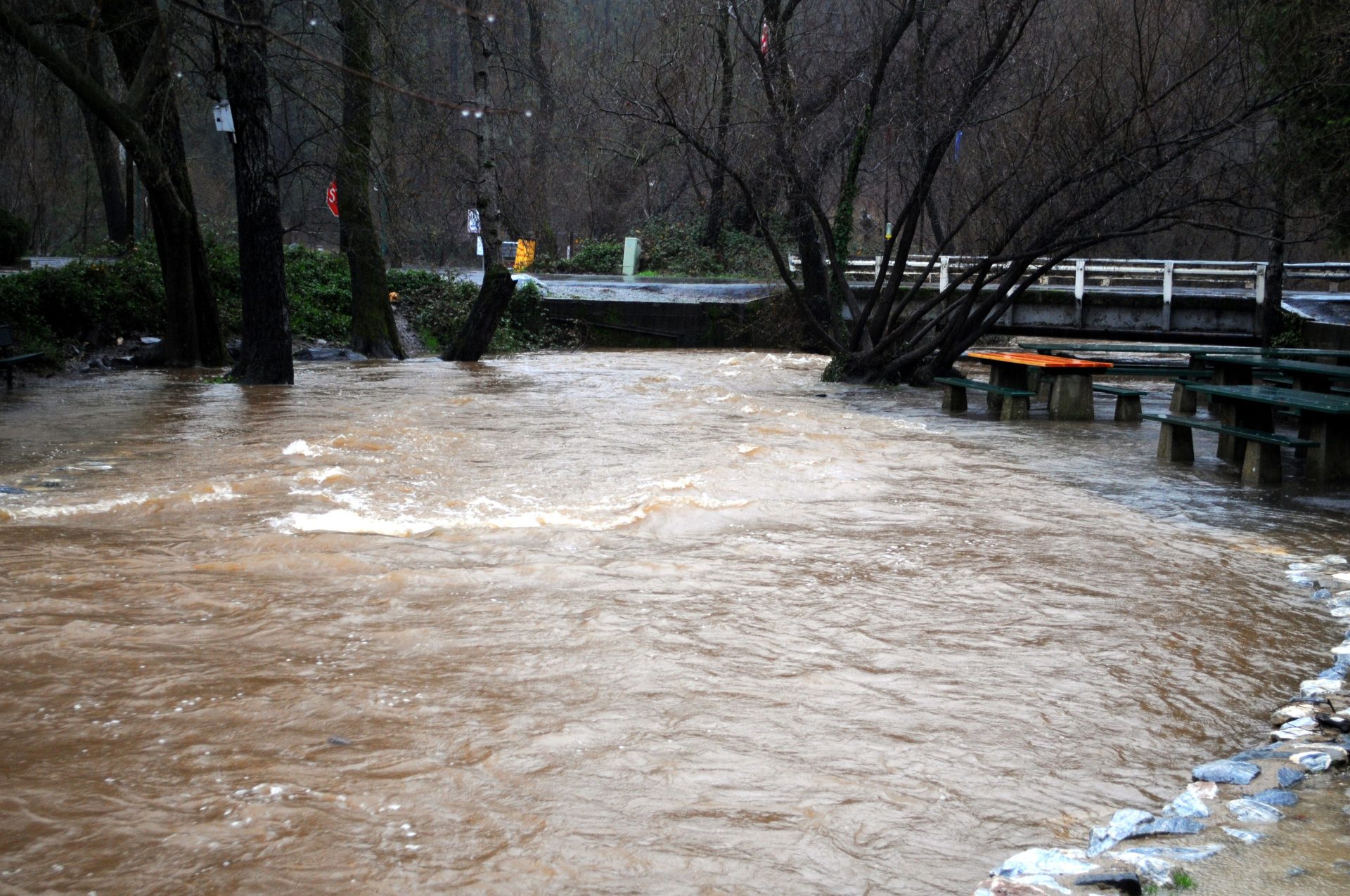
And finally, a Flood Watch is currently effect for the Mariposa County foothills, the lower Sierra Nevada of Mariposa County, Yosemite National Park and the central San Joaquin Valley until late tonight. A Flood Watch is also in effect for the Mother Lode and the northern San Joaquin Valley until Wednesday afternoon.
Flooding caused by excessive rainfall and an atmospheric river, continues to be possible.
Excessive runoff may result in flooding of rivers, creeks, streams, and other low-lying and flood-prone locations. Creeks and streams may rise out of their banks. Flooding may occur in poor drainage and urban areas. Low-water crossings may be flooded. Storm drains and ditches may become clogged with debris. Extensive street flooding and flooding of creeks and rivers are possible. Area creeks and streams are running high and could flood with more heavy rain.
You should monitor later forecasts and be alert for possible Flood Warnings. Those living in areas prone to flooding should be prepared to take action should flooding develop.