An extended wet weather pattern of rain and snow will impact Northern California starting today that could continue all the way through Christmas Day (Friday, December 25th).
Current models suggest that the heaviest precipitation will occur Friday afternoon through Saturday afternoon and then again Monday afternoon into Tuesday afternoon.
Rain totals through early Tuesday will range from two to four inches in the Mother Lode and one to two-and-a-half inches in the Central Valley.
According to the National Weather Service, snow levels will range from 5500 to 6500 today and tomorrow. This weekend, it will lower to 3500 to 4500 feet.
Through early Tuesday, total snow accumulations above 4500 feet will range from four to twelve inches.
Winds will be breezy to gusty at times.
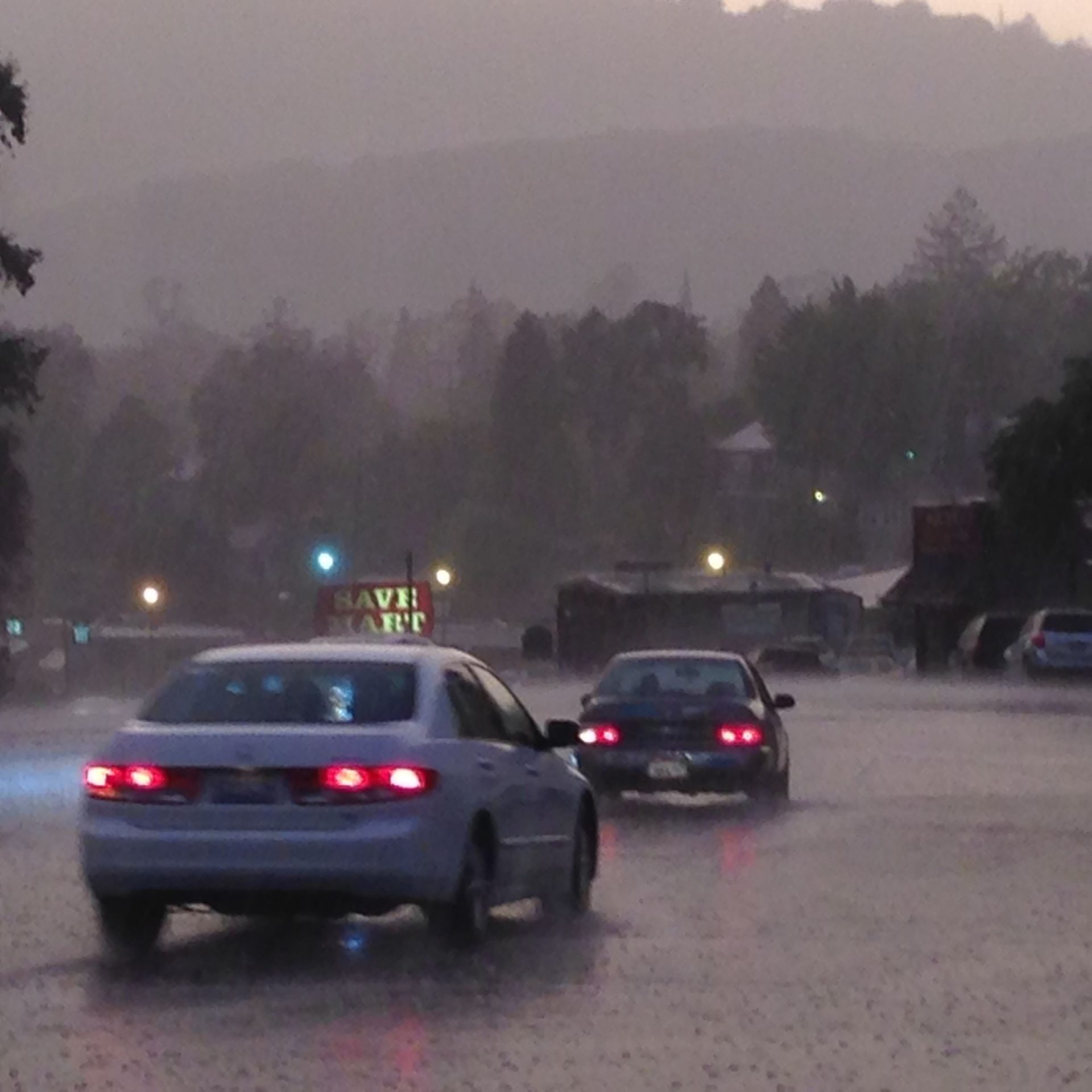
Slick roads due to rain and snow should be expected and chain controls and travel delays will be likely in the Sierra Nevada.
The impacts to travel will be exacerbated by a high volume of Holiday travelers. This extended wet period will enhance the potential for localized urban and small stream flooding.