Update: Calaveras Flash Flood Watch, Winter Storm Warning
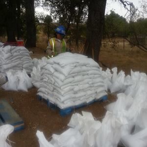
The National Weather Service has issued a Flash Flood Watch for the Butte Fire burn area in Calaveras County through Saturday morning.
Anyone living or traveling on roads in the Butte Fire Burn Area along Jesus Maria Creek and the Calaveras River, especially from Whiskey Slide to Highway 26, should be alert for probable road problems due to flooding, rock and debris flows.
Additional areas of concern include Railroad Flat Road, Mountain Ranch Road and the connecting smaller roads within the Butte Fire Burn Area. Large portions of the area have been severely burned. These areas no longer absorb any rainfall, which can lead to enhanced runoff and possible debris flows.
Total rainfall amounts of two to three inches are forecast over the burn scar area. Moderate to heavy rainfall is possible for several hours.
Additionally, a Winter Storm Warning has been issued for the Sierra Nevada above 3,000 feet from 4 PM this afternoon to 4 AM Monday.
Snow levels will start out above 8,000 feet today before lowering to 4,000 feet by Saturday morning and down to 2,500 feet by Sunday evening.
Total snow accumulations above the 4,000 foot elevation, will range from two inches to three feet.
Winds of thirty to forty-five mph are expected, with gusts up to seventy mph.
Snow covered roads are likely as well as blowing and drifting snow and local whiteout conditions. Snow and gusty winds may cause falling tree branches or limbs. These are dangerous conditions for hikers and campers with sub zero wind chill temperatures over the high country this weekend.
A Winter Storm Warning means severe winter weather conditions are expected or are occurring. Significant amounts of snow are forecast that will make travel dangerous. Only travel in an emergency. If you must travel, keep an extra flashlight, food and water in your vehicle in case of an emergency.
A Flash Flood Watch for a burn area means that conditions, may develop that could generate persistent moderate to heavy rainfall for several hours. Heavy rainfall rates over recent burn areas could lead to flash floods, rockslides and or debris flows. This is a heads up product – be prepared to take action.