Will May Showers Later This Week Bring May Flowers?
An upper level low will drop south into Northern California from Wednesday into Thursday. This will bring a threat of showers and thunderstorms over all of interior Northern California, especially to the mountains.
Thursday is the brunt of the storm. The low shifts to Southern California on Friday so showers are expected to decrease over Northern California.
Precipitation is somewhat limited with this system. Total amounts of rainfall are generally expected to be less than half an inch and will be variable due to the convective nature of showers.
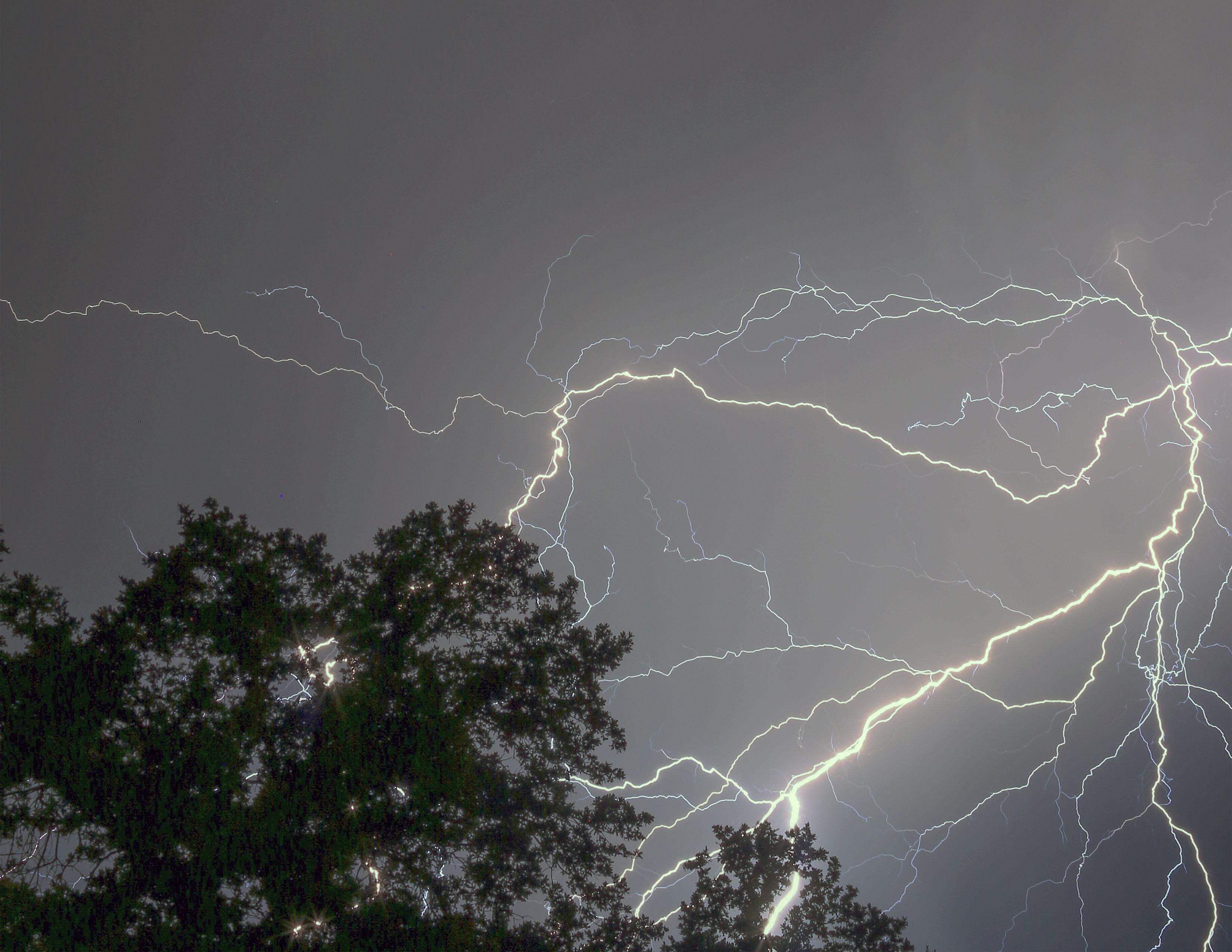
Dangerous lightning is expected during this time period.
According to the National Weather Service, snow levels will begin around 5500 ft.
Total snow accumulations of up to six inches are possible.
Chain controls should be expected over the Sierra Mountain passes from Wednesday night through Friday and travel delays are likely.
Highway 120 Tioga Pass just reopened this morning at 8 AM. For the latest mountain road conditions, log onto /traffic