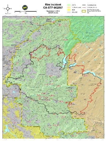
New Maps Detail Rim Fire Boundaries

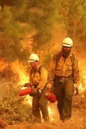
Tuolumne County, CA — Some new maps have been released by the Rim Fire Incident Command Team showing exactly where the fire has burned.
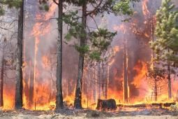
The fire has scorched over 228,000 acres. It is noted that 65,000 acres has burned in Yosemite National Park, which is roughly 8% of the park. Advisory evacuation notices remain in effect this afternoon along the south side of the Highway 108 corridor from North Tuolumne Road/Ponderosa Hills up to Pinecrest. Highway 120, at the Yosemite National Park boundary west to Buck Meadows, has also been evacuated.
To view the latest map with the fire boundaries, click here.
To see a map showing the impacts of the smoke, click here.
To view a map showing dozer lines, burnout areas, power lines, etc., click here.
To see a map detailing the Yosemite National Park closures, click here.
(Click on the maps for a zoomed in view)