Forest Begins Seasonal Road And Trail Closure
SONORA, Calif. — Stanislaus National Forest has begun its seasonal closure of roads and trails as designate on its official Motor Vehicle Use Map (MVUM).
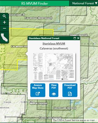
Forest officials warn visitors that even if a road’s gate is not locked or remains open it does not mean that visitors can access it. The only way to have accurate information is to pick up the free maps at district offices, which are continually updated or click here. Once on the site, as shown below, click on the district and its map will come up.
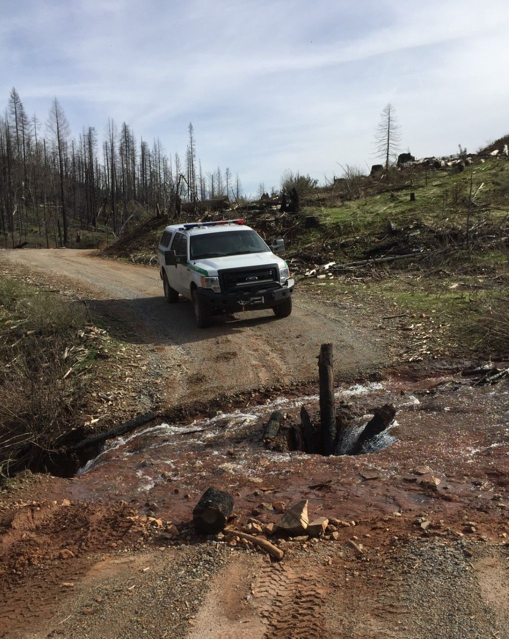
Forest officials also caution that roads identified as open could still be hazardous due to snow or fallen trees. Additionally, many motorized trails above 3,000-foot elevation are closed. However, roads and motorized trails below that elevation are open year-round.
Open forest roads are maintained for winter or wet weather use, so motorists should drive defensively. Watch out for rocks, snow, and ice or wet, saturated roadbeds. Forest officials remind that the soggy roads can be damaged easily and can require costly repairs.
One area highlighted by forest officials in the Calaveras Ranger District. The only areas open for winter hiking include the White Pines Lake/Sierra Logging Museum Trailhead (with access to the Arnold Rim Trail), Upper Valley View Trailhead and the San Domingo Trail. All other trails are closed for the season.
For the latest road conditions, forest officials advise calling ahead. Below are the phone numbers for the Mother Lode districts:
Stanislaus NF Supervisor’s Office: 209-532-3671
Calaveras Ranger District: 209-795-1381
Groveland Ranger District 209-962-7825
Summit Ranger District at 209-965-3434
The seasonal forest road and trail closures will remain in effect until April 14, 2020.