New Trails Opening In Donnell Fire Footprint
Sonora, CA – Stanislaus National Forest officials have revised the Donnell Fire Closure Order to allow for more hiking in the area while several roads remain closed due to hazardous tree removal.
Forest Supervisor Jason Kuiken has revised the order as some new trails are reopening. He notes, “The original forest order was signed to protect the public from the risk of hazard trees, the high potential for debris flow and the risk from rockfall and flooding, and with this revised forest order that remains true for some areas that are still at high risk.” Kuiken adds, “We have been removing hazard trees on trails and roads and several trails are reopening.”
Seven Pines, Disaster Creek and Arnot Creek trails, along with Disaster Creek and Arnot Creek trailheads have reopened, according to Summit and Mi-Wok District Ranger Sarah LaPlante. She details, “We’ve had some amazing assistance from partners who have worked with the forest to fell hazard trees and repair trail infrastructure so we could reopen these trails. A big thank you to Kennedy Meadows, who took on the trail work on the Seven Pines Trail. Thanks to them, the public can enjoy these beautiful trails again.”
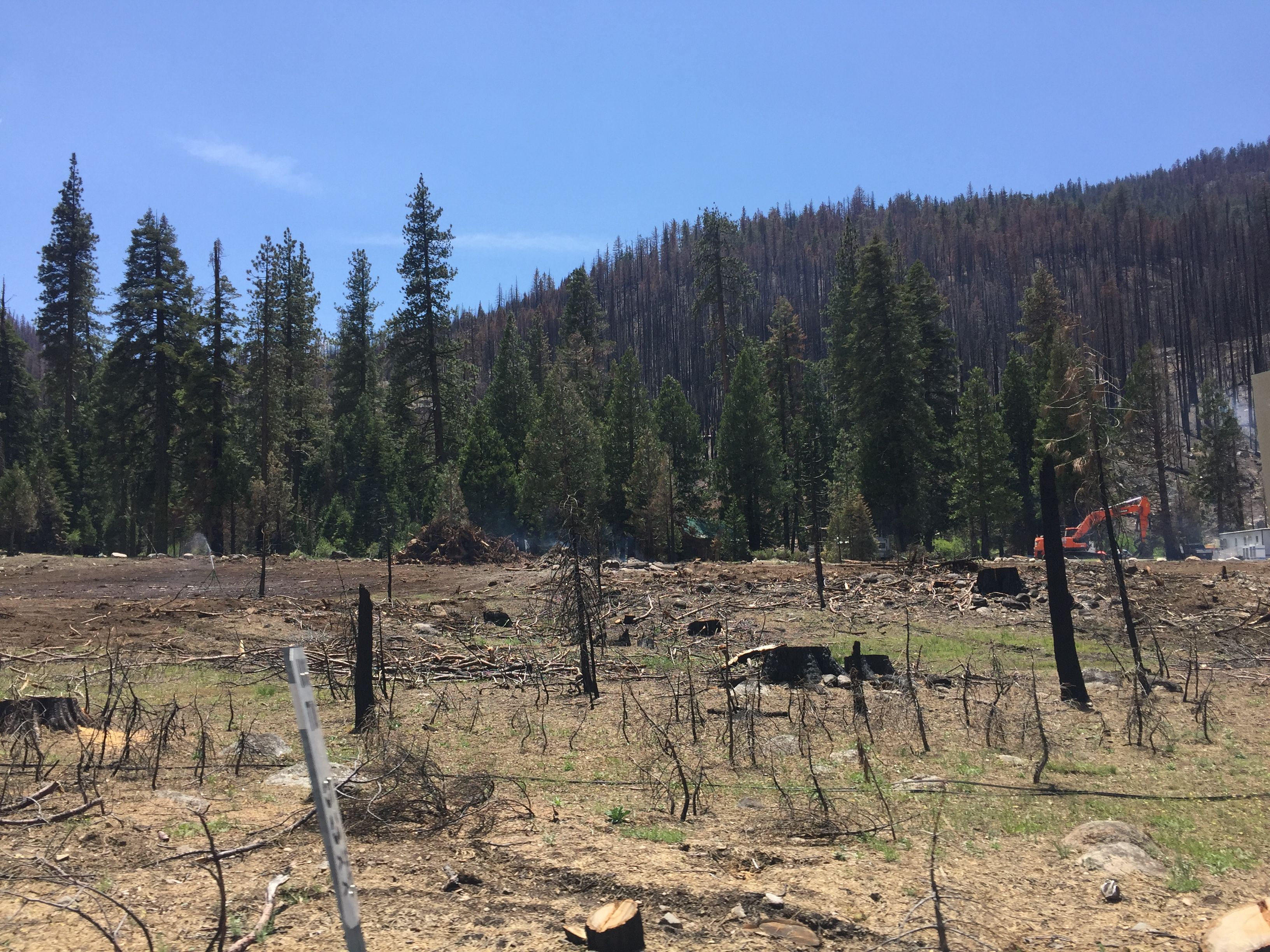
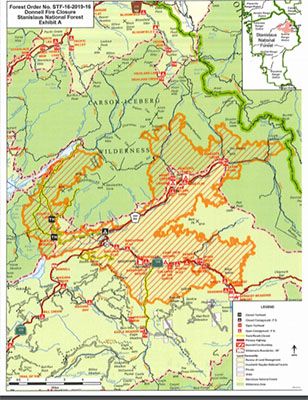
Even with that work completed, the closure order still includes Double Dome Road (6N34Y, 6N33Y) and Fence Creek Road (6N06) along with Eagle Creek, Wheats Meadow and Dardanelle Creek trails. Also, Fence Creek Campground, Wheats Meadow and County Line trailheads are all shut down. The forest order (map is below) is set to expire on Dec. 31 of this year and as conditions allow other areas may reopen, according to forest officials.
Visitors are cautioned to pay close attention to their surroundings as hazardous trees remain in the burn scar. Forest officials provide these safety tips for recreating in burned areas:
- Check with any Stanislaus ranger district office for any forest closures orders for roads, trails, or areas. Be sure to ask for current creek crossing conditions if your route will cross one.
- Keep an eye on dead and fire-weakened trees as you hike and choose open areas or green forests to stop and rest. Keep an eye out for large broken branches still hanging in trees, and remember, dead trees can fall at any time! Do not linger under them.
- Check the weather forecast for rain and or high winds. Late summer and fall can mean thunderstorms. Know how to keep you and your family safe.
- Consider hiking trails that do not have large creek crossings or plan a loop to not cross large creeks in the afternoon.
- Because communications in the Sierra Mountains may be limited, please be sure a family member or friend not traveling with you is aware of your destination, route, and when you plan to return before you leave home.