Update: Sierra Storm Watch, Local High Wind Watch
The National Weather Service has issued a Winter Storm Watch for the Sierra Nevada from Thursday afternoon through Saturday evening.
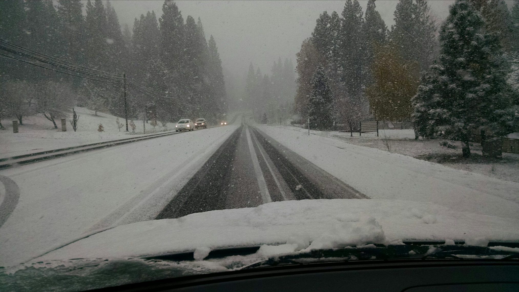
An approaching storm will bring heavy snow starting Thursday afternoon and evening, with heavier snowfall amounts Friday through Saturday.
Total snow accumulations will range from half a foot to one foot above the 4,500 foot elevation. Two to three feet of snow is expected above 7,500 feet.
Additionally, a High Wind Watch has been issued for the Mother Lode and the Northern San Joaquin Valley from Thursday evening through Saturday afternoon.
Potentially damaging winds and periods of heavy precipitation are expected. Strong winds could topple poles and uproot trees. Loose or unsecured items may be blown away. Travel will become difficult, especially for smaller and higher profile vehicles.
Winds of forty mph are likely in the Mother Lode and the Central Valley gusts up to sixty mph.
In the Sierra, winds of twenty-five to thirty-five mph are expected. High wind gusts up to seventy-five mph will create periods of white out conditions with very low visibility in heavy snowfall.
A High Wind Watch means there is the potential for a hazardous high wind event. Sustained winds of at least 40 mph, or gusts of 58 mph or stronger may occur.
A Winter Storm Watch means there is a potential for significant snow, sleet, or ice accumulations that may impact travel.