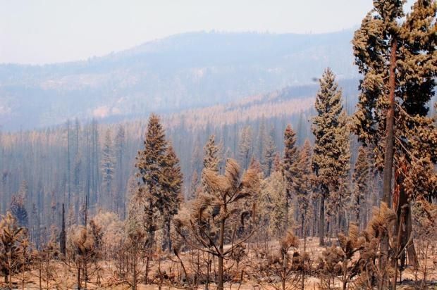
Flash Flood Watch Issued For Rim Burn Area
A Flash Flood Watch has been issued for Tuolumne County and the Sierra Nevada from Tuesday morning through late Wednesday night.
Rain will move into central California on Tuesday.
Runoff from heavy rain showers or thunderstorms may cause flash flooding in the Rim Burn and other burn scar areas both near and inside of Yosemite National Park.
Rainfall rates could exceed one half inch per hour at times during the storm. Up to two and a half inches of rainfall is expected over the burn areas, through Wednesday morning.
Rainfall amounts could be higher under any thunderstorms.
The severely burned areas will be of particular concern. These areas no longer absorb any rainfall, leading to enhanced runoff.
This could quickly become a dangerous situation. Hunters, residents and persons traveling within the Rim Burn areas should remain alert and take action should heavy rain develop. Be alert for possible road problems due to flooding, rock and debris flows.
A Flash Flood watch means that conditions may develop that lead to flash flooding.
Additionally, the National Weather Service has issued a Winter Storm Warning for the Sierra Nevada above 7000 feet, from 10 AM Tuesday through 4 AM Thursday.
One to three feet of snow accumulation is expected.
Winds of twenty-five to thirty-five mph with gusts up to fifty mph are likely.
A Winter Storm Warning means severe winter weather conditions are either expected or are occurring. Significant amounts of snow are forecast that will make travel dangerous. Only travel in an emergency if you must travel. Keep an extra flashlight, food and water in your vehicle in case of an emergency.
For the latest mountain pass conditions, log onto www.mymotherlode.com/traffic