Update: Burning Underway Near Ponderosa Hills
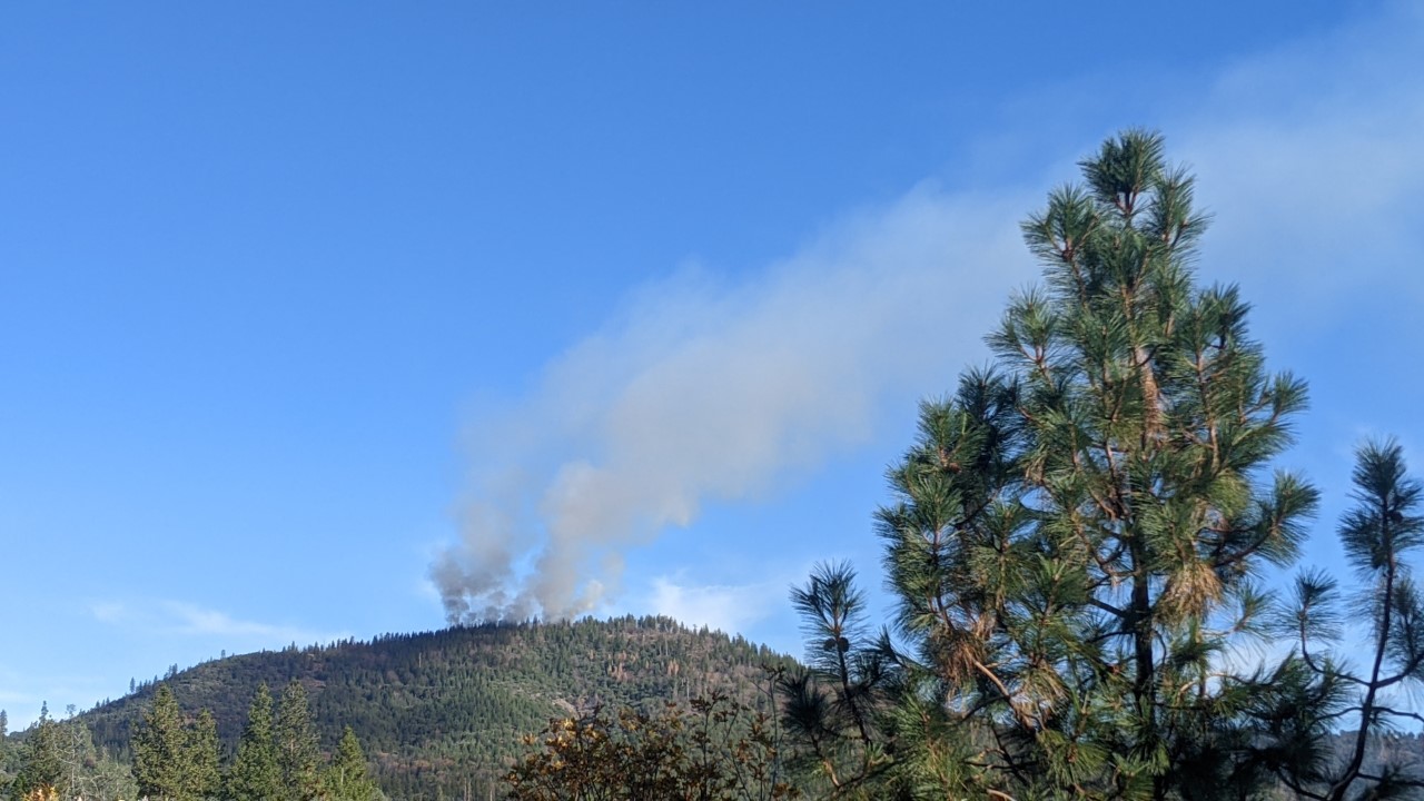
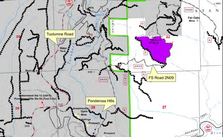
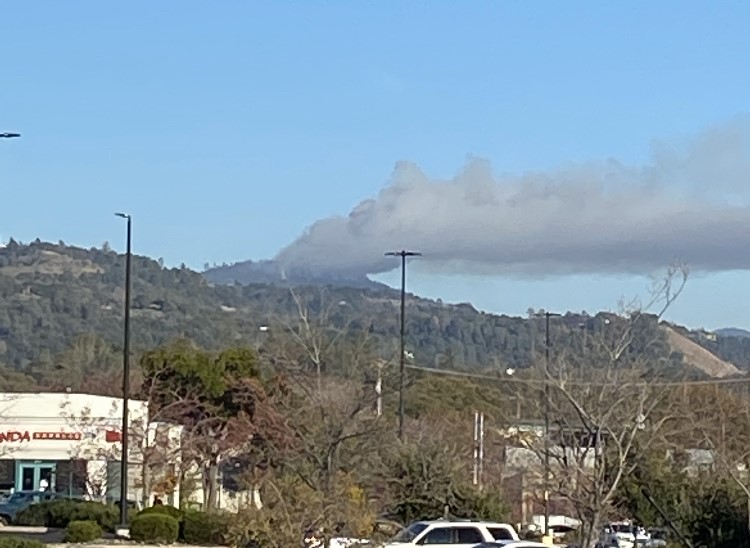
Update at 11:10am: A planned prescribed burn is underway near Mt. Provo in the Tuolumne area. The 58-acre burn is anticipated to last for two days. A plume of smoke is visible east of Ponderosa Hills. Click on the images to view a map of the fire area.
Original story posted at 8:15am: Tuolumne, CA — Smoke is anticipated to be visible in the Tuolumne area over the next couple of days.
The US Forest Service is planning to ignite a 58-acre prescribed burn one mile east of Ponderosa Hills in the vicinity of Mt. Provo. It is along Forest Road 2N09.
The burn is expected to get underway this morning and last for up to two days. The goal is to reduce fuel buildup, better protect Ponderosa Hills and the surrounding area, and improve the health of the forest ecosystem.
The Forest Service notes that the Sierra Nevada is a fire-dependent ecosystem, and fire is part of the natural forest process. Smoke will likely be visible from Highway 108 and Tuolumne Road during the day and then down canyon in the North Fork of the Tuolumne River during the evening and early morning hours.