Winter Storm Watch Issued For The Sierra Nevada
A Pacific storm system will bring snow to the mountains and upper foothills through Wednesday evening.
The snowfall and travel impacts is forecast to begin today across California’s northernmost mountains, before spreading south into this region on Tuesday into Wednesday.
The National Weather Service has issued a Winter Storm Watch for the Sierra Nevada above 3,000 feet, from Tuesday afternoon through Wednesday evening.
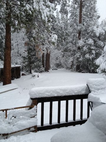
The total snow accumulations above the 3,000 foot elevation, will range from three inches to two feet. The higher you go, the more the snow.
The winds will gust as high as sixty mph over the higher elevations.
Heavy snow is possible at times. Significant reductions in visibility is likely.
Plan on travel delays and slick, snow covered roads, some of which may become impassable or closed. Roads that remain open will require tire chains. If you plan to travel, consider alternate strategies. If you must travel, remember to carry plenty of food, a good deal of water, and warm clothing in your vehicle.
Monitor myMotherLode.com for the latest forecasts and updates on this situation.
A Winter Storm Watch means there is potential for significant snow, sleet or ice accumulations that may impact travel.