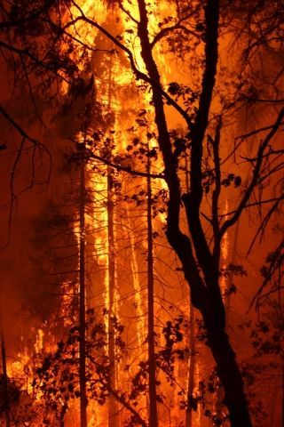
The Rim Fire Now 213,414 Acres
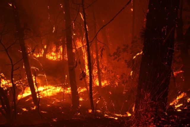
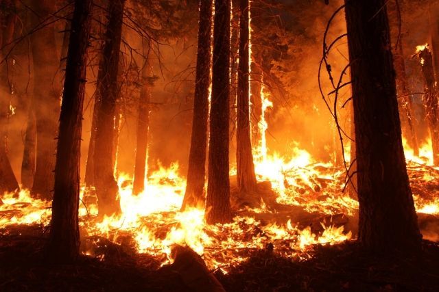
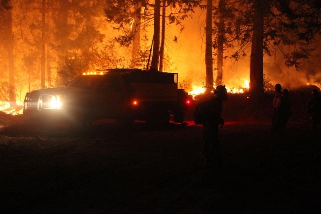
Tuolumne County, CA — The Rim Fire is now 213,414 acres or 333 square miles and is 35% contained. There are 4,844 firefighters battling the blaze at a cost of $54 million to date.
The following information was released by Incident Command:
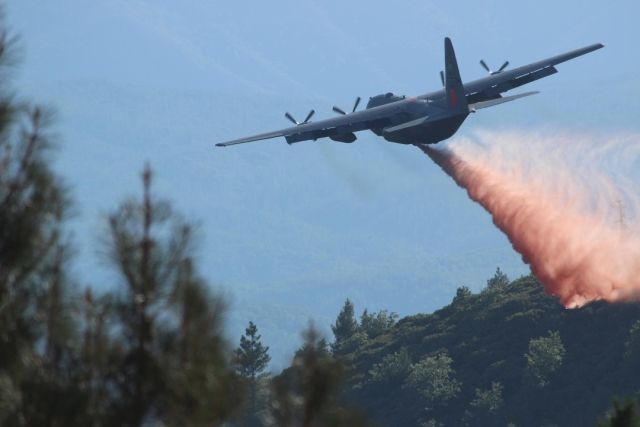
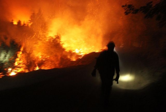
Multiple burning operations took place today. Fire Officials say crews burned on Pilot Ridge, Pilot Peak and Crocker Ridge in the southern portion of the fire. They also burned south from Hetch Hetchy toward Harden Lake on the eastern flank, near Hells Mountain on the north end of the fire. Air-tankers and helicopters have been supporting the burning operations. Burning operations are used to “fight fire with fire” by removing fuel from the edge of fire lines. Crews are also working to remove fuels next to fire lines in front of burnouts that are expected to continue through the weekend. Fire Officials say the removal of fuels is to reduce the intensity of the burnout. They say operations for tonight include the continued back burning, as well as providing structure defense.
Evacuations and Advisories:
Evacuation advisories remain in effect for the southside of the Highway 108 corridor from North Tuolumne Road to Pinecrest. Ponderosa Hills is still under an advisory and it is off limits to the public with only resident and fire personnel being allowed into that area. There are no longer advisories for Tuolumne, Willow Springs and Soulsbyville. An Evacuation Warning is in effect for all residences north of Bull Creek Road (Forest Road 2S02), Bondurant Mine Road, Texas Hill Road, and Wampum Hill. A Mandatory Evacuation remains for residences north of Old Yosemite Road (Forest Road 2S01). Highway 120 at the Yosemite National Park boundary west to Buck Meadows has been evacuated. Evacuation centers are at the Mother Lode Fairgrounds in Sonora and at the Greeley Hill Community Center.
Road Closures:
Buchanan at Cottonwood Roads and Sunrise Drive are still closed to traffic. Highway 120 remains closed from Buck Meadows to one and a half miles east of White Wolf Road. Highway 120 east of Tioga Road remains open from one and a half miles east of White Wolf Road to the Tioga Pass entrance. Cherry Lake Road is closed at Highway 120. Evergreen Road and Old Yosemite Road are also closed. Highway 120 from Ferretti Road to Buck Meadows remains open for local residents and businesses only.
Park and Forest Closures:
Tamarack Flat and Yosemite Creek Campgrounds, both on Tioga Road are closed in Yosemite National Park. Also, White Wolf Campground and White Wolf Lodge remain closed. The Stanislaus National Forest has closed the entire Groveland Ranger District and for the Mi-Wok Ranger District east of Highway 108.